
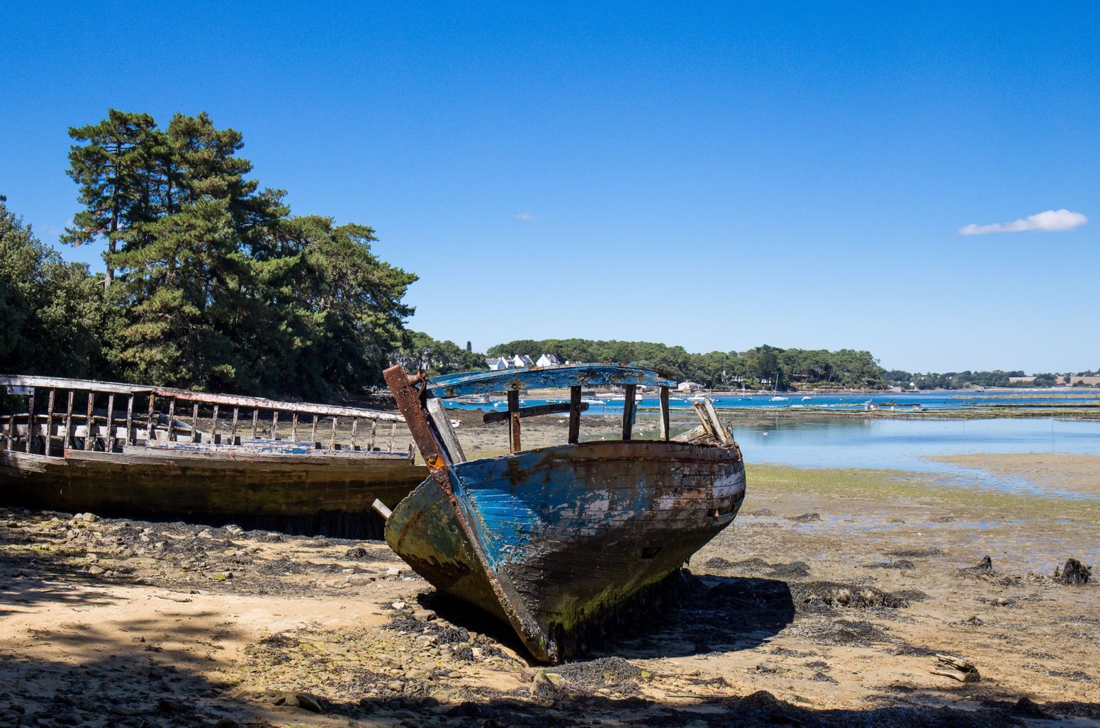
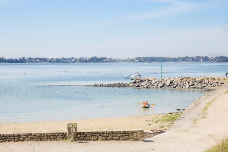
In the Gulf of Morbihan, the tide doesn’t simply rise and fall: it rushes in through a narrow channel, creates some of the strongest currents in Europe and doesn’t arrive at the same time everywhere. Understanding the tides of the Gulf of Morbihan lets you enjoy them safely, whether on foot or on the water.
Here is what you need to know: why these tides are so unusual, how to read a tide table, and what to do at low tide and at high tide.
Why the tides of the Gulf of Morbihan are so unusual
A small sea that breathes through a narrow channel
The Gulf is an inland sea some twenty kilometres long, dotted with around forty islands. Its only link with the ocean is a narrow passage, roughly a kilometre wide, between Locmariaquer and Port-Navalo.
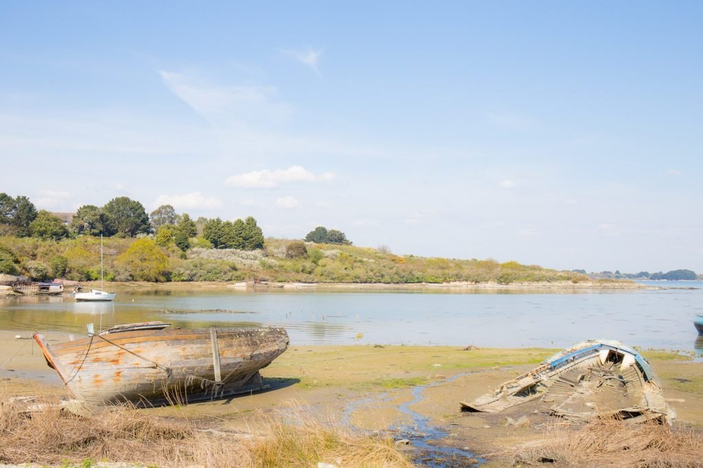
On every rising tide, ocean water has to squeeze through this channel to fill the whole Gulf. On the ebb, it leaves the same way. Much of the Gulf is uncovered at low tide (mudflats, sandbanks, seagrass beds) before disappearing under water again a few hours later.
A time lag between the mouth and the head of the Gulf
Because the water takes time to move around, high water doesn’t arrive everywhere at once. At the head of the Gulf, in Vannes, it comes noticeably later than at the entrance, in Port-Navalo: often almost two hours later [SOURCE TO BE VERIFIED].
That is why the tourist office publishes separate tide times for several points around the Gulf, such as Port-Navalo, Arradon and Vannes. Before heading out, always check the times for the harbour closest to where you are going.
The Jument current and the currents of the Gulf
Pushing so much water in and out through such a narrow passage creates very powerful currents. The best known is the Jument current, near the entrance to the Gulf, said to be among the strongest in Europe. On big tides you can see it with the naked eye: the water churns and forms whirlpools, even when there is no wind.
Inside the Gulf, the currents remain strong in the channels between the islands. They change direction with the tide, a moment known as the turn of the tide. In between comes a short period of calm, slack water, which kayakers and sailors wait for before crossing.
For any activity on the water, it is essential to set off with the current and to plan your return with the next tide. The Gulf’s hire companies and sailing schools know these rhythms by heart, so ask their advice, and have a look at our ideas for sailing, kayaking and paddleboarding in the Morbihan.
Coefficients and spring tides: reading a tide table
A tide table gives, for each day, the time of high water (high tide) and low water (low tide), along with a coefficient. This ranges from 20 to 120: the higher it is, the greater the difference between high and low tide, and the stronger the currents.
At around 45, these are neap tides and the sea moves very little. Around 95, they are spring tides, and above 100 they are the big tides the French call grandes marées, especially around the March and September equinoxes.
A simple rule helps you get your bearings: the sea rises (or falls) slowly at first, quickly in the middle of the tide, then slowly again at the end. This is the rule of twelfths: 1/12 of the range in the first hour, 2/12 in the second, 3/12 in the third and fourth, 2/12 in the fifth and 1/12 in the sixth. In the Gulf it is only an approximation, but it explains why the water seems to ‘arrive all at once’ at mid-tide.
What to do at low tide
Exploring the foreshore
At low tide, the Gulf is transformed. The foreshore is uncovered, birds come to feed on the mudflats and the beaches grow wider. It is the best time to walk the coastal path and watch a landscape that changes from hour to hour. The GR34 runs right past the hotel: here are our tips for walking from Larmor-Baden.
Shore fishing, with a few rules
Shore fishing (pêche à pied) is a Gulf tradition. It is regulated: minimum sizes, limited quantities per person, and areas that are sometimes closed for health reasons. Before you go, check the shellfish health status for the Morbihan, published by the local prefecture.
Islands you can reach on foot
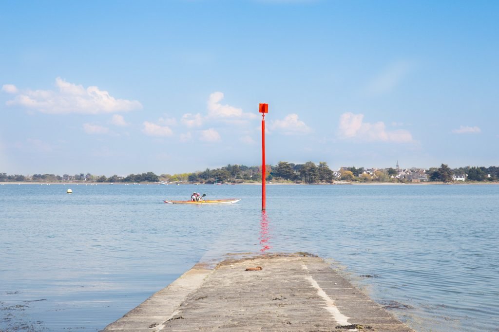
Some islands can be reached on foot at low tide, such as the island of Berder, just opposite Larmor-Baden. The crossing is only passable for a few hours either side of low water: check the tide times before you set off and keep an eye on the time once you are there, as the sea comes back in quickly. You can also discover the islands of the Gulf of Morbihan to visit from the hotel.
What to do at high tide
At high tide, the Gulf looks once again like a small inland sea, dotted with sailing boats. This is the time for kayak or paddleboard outings, for swimming, and for boat crossings to the islands from the landing stages.
It is also, quite simply, the loveliest time to sit and look out over the water. From the hotel, a stone’s throw from the sea, it only takes a few minutes to watch the tide come in, then go out again.
Before every outing
- Check the day’s tide times and coefficient for the harbour closest to where you are going.
- Never set out on a crossing that floods at high tide without knowing when the tide turns.
- On the water, find out which way the current is running and when it will turn.
- If in doubt, ask at reception before you set off.
Where to find reliable tide times
The official reference is the SHOM tide service, the French public body responsible for hydrography. It provides hour-by-hour forecasts for many ports, including several in the Gulf.
The Gulf of Morbihan tourist office also publishes tide times by area, which are handy for planning a walk. These calendars give the coefficients in advance, so you can spot the dates of the year’s biggest tides.
Understanding the tides of the Gulf of Morbihan means learning to live by their rhythm: walking at low tide, sailing with the current, enjoying the water at high tide. The easiest way to get started is to stay on the shores of the Gulf and watch it for a few days: our rooms overlooking the Gulf or the garden make a good starting point.
Written by the Le Parc Fétan team
From Larmor-Baden, looking out over the Gulf.

